Local Sedona travel guide
6 Best Scenic Drives in Sedona: Routes, Stops & Viewpoints
Explore six of the best scenic drives in Sedona, including SR 179, Oak Creek Canyon, Red Rock Loop, Dry Creek Road, Airport Mesa, and Jerome.
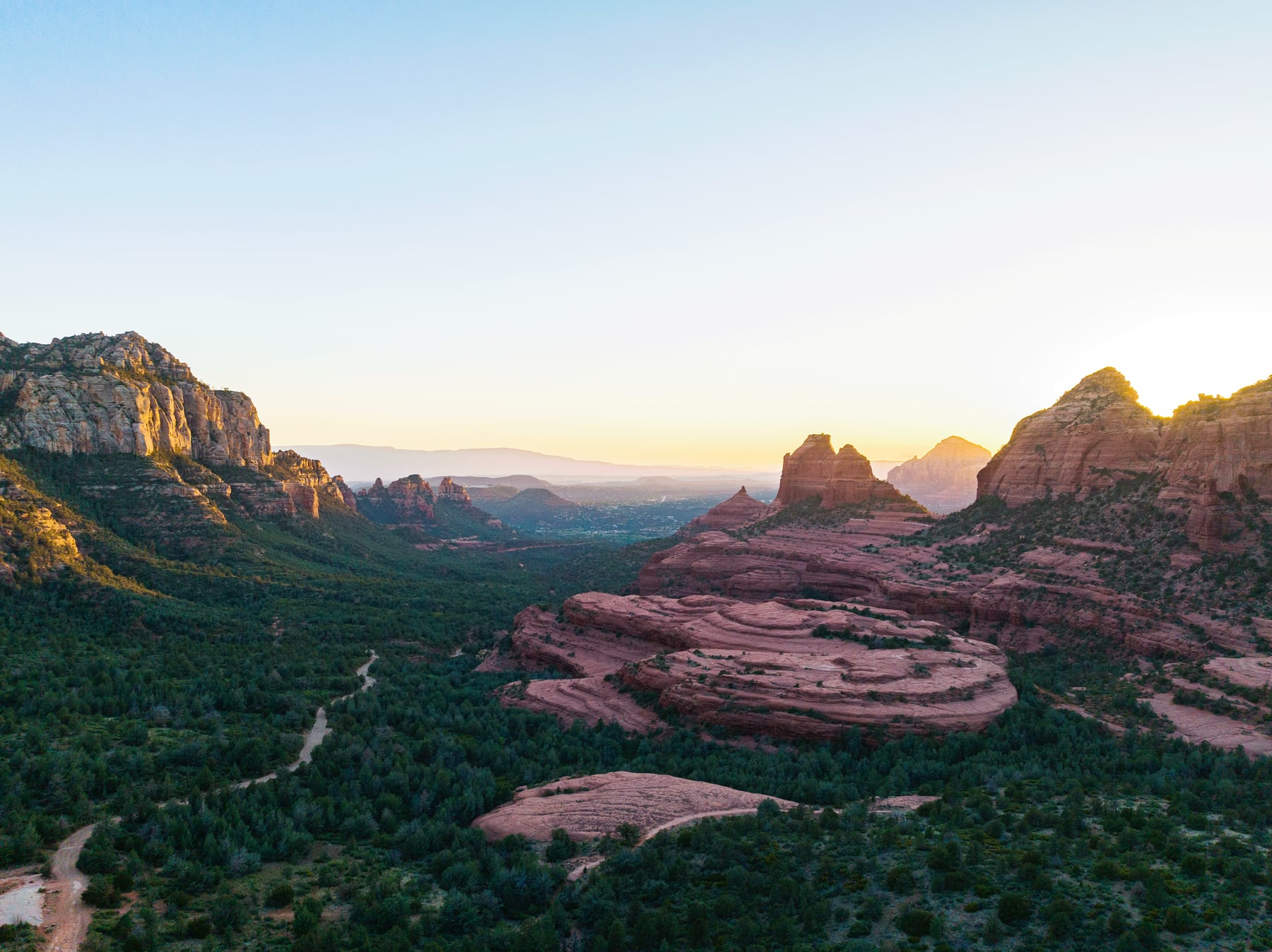
You do not need to climb a steep trail to understand why Sedona stops people in their tracks.
Some of the area's best red-rock views unfold right from the road: through the switchbacks of Oak Creek Canyon, along the buttes of SR 179, and across the open country west of town. A scenic drive is especially useful for wedding guests, families, mixed-mobility groups, and anyone saving their legs for a ceremony or reception.
The key is to treat the drive as the experience—not as a race between photo stops. Traffic, limited pullouts, weather, and changing road conditions all matter here.
Details were checked September 23, 2026. Before leaving, check Arizona 511 for road conditions and Coconino National Forest alerts for closures. Never stop in a travel lane or enter a closed road.
Quick guide to Sedona's scenic drives
Best first drive: SR 179 between the Village of Oak Creek and central Sedona.
Best forest-and-canyon contrast: SR 89A through Oak Creek Canyon.
Best short sunset loop: Upper and Lower Red Rock Loop Road.
Best easy western views: Dry Creek Road and Boynton Pass Road.
Best longer day: Sedona to Cottonwood, Clarkdale, and Jerome.
Not a normal passenger-car drive: the rough, unpaved portion of Schnebly Hill Road.
Download your route before leaving. Cell service can be inconsistent, and the safest pullout is not always the one a map app chooses.
1. SR 179: the classic red-rock arrival
State Route 179 runs from Interstate 17 through the Village of Oak Creek and into Sedona. It is an All-American Road, and it delivers the kind of red-rock views many visitors imagine before they arrive.
Bell Rock and Courthouse Butte dominate the southern section. Farther north, the road winds toward the Chapel area, Tlaquepaque, and the junction with SR 89A.
This is the best orientation drive for a first-time visitor, but it is also a working road. Use designated parking and overlooks. Do not slow abruptly for a photo, stop in the bike lane, or assume a trailhead lot will have space.
For a simple half-day, combine the drive with a reserved meal in the Village of Oak Creek or central Sedona. If you want to walk, choose an established trail or viewpoint that fits your group rather than improvising beside the road.
2. Oak Creek Canyon on SR 89A
North of Uptown, SR 89A climbs through Oak Creek Canyon toward Flagstaff. The scenery shifts from red rock to creekside forest and then to pine-covered high country.
The road is narrow and winding, with switchbacks near the top. Allow more time than the mileage suggests, especially on weekends, during fall color, in winter weather, or when traffic is heavy. Large vehicles and anyone prone to motion sickness should plan accordingly.
The Oak Creek Vista overlook near the top is a logical stop when it is open and safely accessible. Slide Rock State Park and other canyon sites can fill early; they are destinations with their own entry rules, not casual roadside pullouts.
Continue to Flagstaff only if the group has time for a true outing. A Lowell Observatory evening or downtown meal can make the drive worthwhile, but do not stack it immediately before a wedding event.
3. Red Rock Loop Road
Red Rock Loop Road makes a beautiful shorter drive west and south of Sedona, with open views toward Cathedral Rock and the surrounding formations.
Upper Red Rock Loop begins near West Sedona. Lower Red Rock Loop connects toward the Verde Valley side. Roads and access points in this area have changed during construction projects, so check the current route rather than relying on an old itinerary.
Red Rock State Park is the best structured stop for a mixed group. It offers restrooms, picnic areas, short trails, and views in a managed setting. Admission, hours, and programs can change; confirm them on the official Arizona State Parks page before going.
This drive is lovely near the end of the day, but darkness comes quickly once the sun drops. Finish your photo stops before you lose safe visibility.
4. Dry Creek Road and Boynton Pass Road
West Sedona opens into broad views of Thunder Mountain, Doe Mountain, Bear Mountain, and the Secret Mountain Wilderness. Dry Creek Road and Boynton Pass Road are an easy way to see this side of Sedona without committing to a long hike.
The area also contains some of Sedona's busiest trailheads. Expect cars turning, cyclists, pedestrians, and shuttle traffic. Use official lots and signed pullouts only.
If someone in your group wants to hike Devil's Bridge, separate that plan from the scenic drive. Parking, shuttle access, route choice, and the hike itself need more time than a casual stop. My Devil's Bridge guide explains the realistic options.
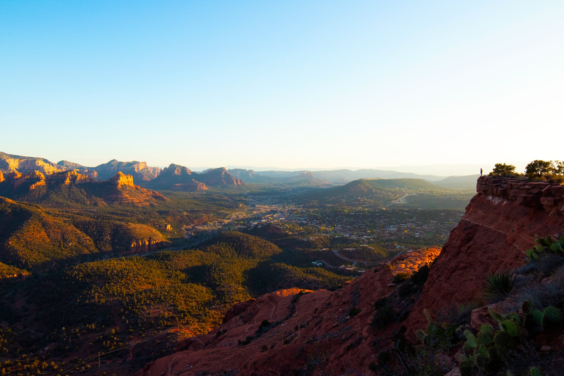
A scenic drive works best when the group chooses a few legal stops and leaves room for changing light, traffic, and weather.
5. Airport Road and the mesa viewpoint
Airport Road climbs from West Sedona to the mesa. The elevation creates a broad view across town, and the overlook is popular near sunset.
Popularity is exactly why this should be a flexible stop. Parking is limited, the road can back up, and the viewpoint can feel crowded. If the lot is full, keep moving and use another legal viewpoint; do not wait in the roadway.
For wedding guests, this is easiest on a free afternoon rather than between timed events. A beautiful sunset is not worth missing the welcome dinner shuttle.
6. Sedona to Cottonwood, Clarkdale, and Jerome
For a longer drive, head southwest toward Cottonwood and Clarkdale, then climb to Jerome. This route trades close red-rock walls for Verde Valley views, historic main streets, wine country, and the dramatic hillside setting of Jerome.
Old Town Cottonwood is a good lunch stop. Clarkdale is home to Verde Canyon Railroad, and Page Springs wine country is nearby. Jerome's steep streets, limited parking, and narrow sidewalks reward patience; visit earlier in the day and follow posted parking signs.
Treat this as a half-day or full-day outing, not a quick loop. If wine tasting is part of the plan, arrange a driver or tour.
Why Schnebly Hill Road needs a separate plan
Schnebly Hill is often listed as a scenic drive, but the unpaved forest-road section is rough and conditions change. It should not be treated like an ordinary paved sightseeing route or attempted simply because a navigation app suggests it.
Check the Forest Service's current motor-vehicle maps and alerts, confirm the route is open, and use a vehicle and driver suited to the conditions. A permitted guided tour is the easiest option for many visitors.
The paved section from central Sedona reaches scenic areas without committing to the rough road. When in doubt, turn the outing into a professional Jeep tour instead of testing a rental-car agreement.
A low-stress scenic-drive itinerary
For a relaxed morning, drive SR 179 north from the Village of Oak Creek, stop only at a legal viewpoint or reserved attraction, continue through central Sedona, and finish with lunch in West Sedona. Add Airport Road or Red Rock Loop only if traffic and timing are comfortable.
For a wedding weekend, keep the drive on the day before or after the main event. If your group wants more structured options, the best group activities in Sedona guide includes trolleys, Jeep tours, parks, trains, and nearby outings.
Sedona scenic drives FAQ
What is the most scenic road in Sedona?
SR 179 is the best first drive for classic red-rock views. Oak Creek Canyon offers the strongest contrast between canyon walls, creekside forest, and the climb toward Flagstaff.
Can I see Sedona without hiking?
Yes. Scenic roads, overlooks, Red Rock State Park, trolley and Jeep tours, galleries, and restaurants with views all make the landscape accessible without a strenuous trail.
Is Schnebly Hill Road safe for a rental car?
Do not assume it is. The unpaved section is rough, conditions change, and rental agreements may restrict unpaved use. Check official road status and vehicle rules or book a permitted guided tour.
Where can I stop for photos?
Use signed overlooks, trailhead lots, parks, and legal roadside pullouts. Never stop in a traffic lane, bike lane, driveway, or closed area, even if the view is brief.
How long should I allow for an Oak Creek Canyon drive?
Allow at least a few hours if you want stops, and more if you continue into Flagstaff. Curves, traffic, weather, and full parking areas can all slow the route.
Are scenic drives a good wedding-weekend group activity?
Yes, especially for mixed ages and abilities, but caravans are difficult. A trolley, private vehicle, or clear meet-up plan is easier than asking many cars to stay together.